Total liquid and snowfall for current storm system through Wed am. More snow on Fri
Apr 14, 2026
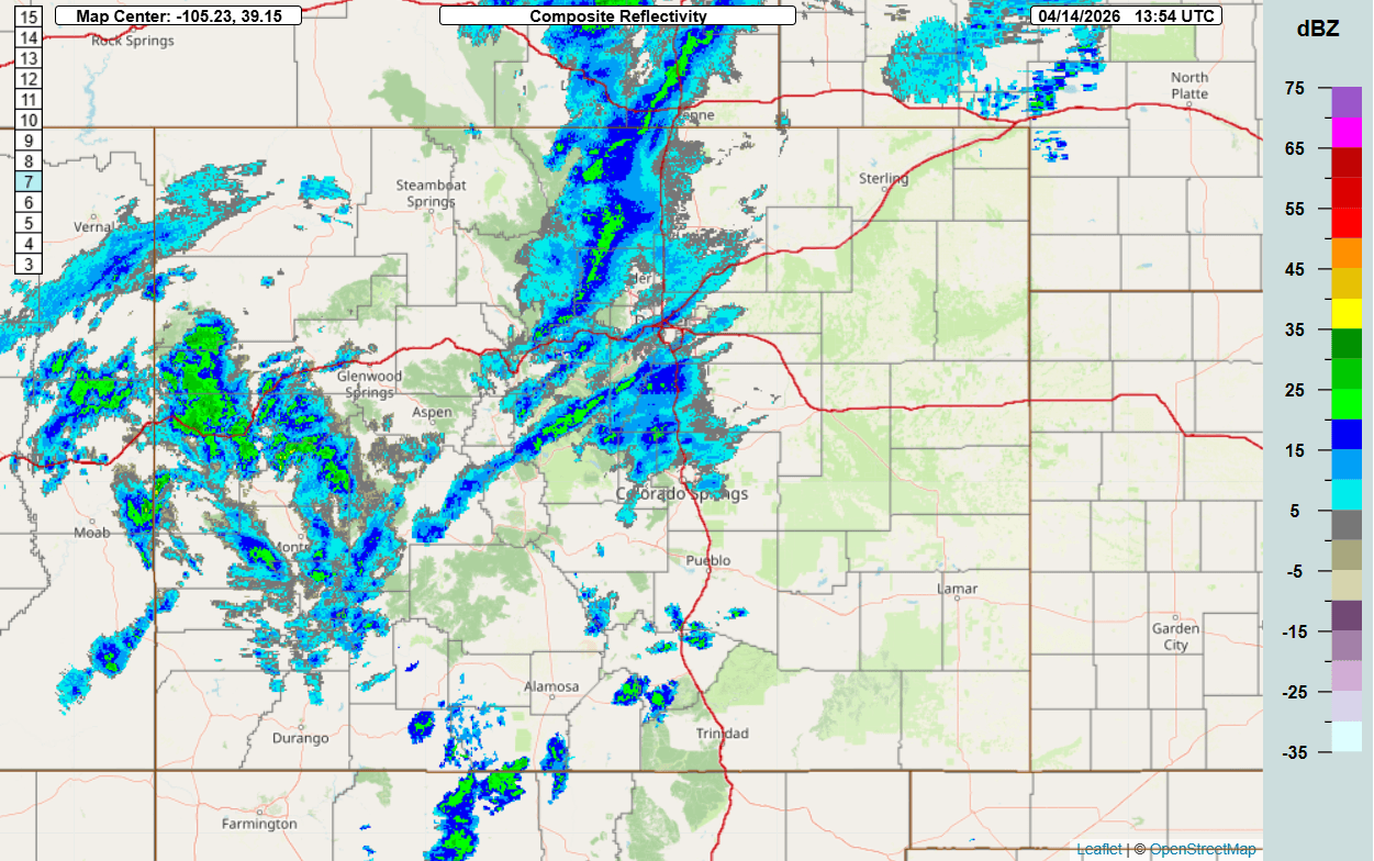
04/14/26 8am: Morning. The current storm system is moving into CO now with some rain/snow showers in the mountains and few weak rain showers developing near the front-range now. You can see this on the current radar below (image 3).
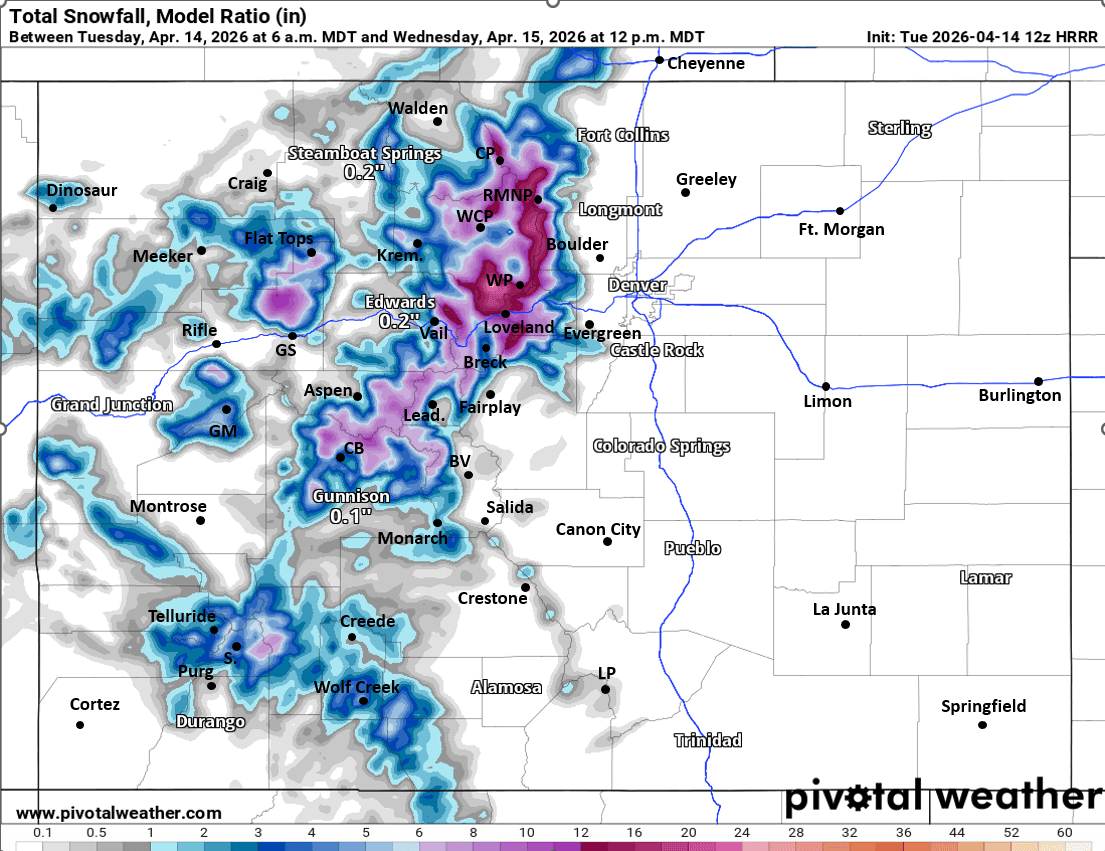
First image loop shows how the storm will evolve today in terms of liquid precipitation. I also included equivalent total snowfall through 12pm Wed.
On the loop you can see that most of the heavier precip for the mountains will be from 2pm today through 2am Wed with a focus for heaviest snow near the Cont. Divide, around Loveland Pass / ski area, Jones and Berthoud Passes, Winter Park, parts of the IPW and RMNP (10"+ for some of those areas). Lesser amounts further west.
For Den/Bou and the front-range a few rain showers between 3pm-9pm, with best chances east of DIA (due to the westerly downslope flow).
It will be windy over southern CO today and windy over the Front Range mountains tomorrow (wind-gusts of 30-60mph), less wind for Den/Bou and less wind west of the Tunnels tomorrow.
Next storm system will bring more snow to the north-central mountains from 6am Fri through 6am Sat, most of it Fri night: 4-8" likely for the ski areas and higher terrain.
For Den/Bou and the front-range, even though the low is tracking a little further north, I'm still seeing a decent shot of snow for lower elevations from 9am-9pm Fri: 1/2" to 3" for Den/Bou and the urban corridor, with 1-5" for the foothills by Fri night. I'll have more on that later.
First image lop shows forecast total liquid precip over the next 30 hours (6am this morning to 12pm Wed) from latest HRRR. Second image is total snowfall, take amounts with grain of salt, but just shows where heavier rain/snow will be. Third image is current composite radar over the state.

Like what you read?
Receive daily weather reports straight to your inbox with Seth's Daily Newsletter. Sign up below.