Cold front with a little snow for the front-range mountains tomorrow. Similar Friday
Jan 13, 2026
01/13/26 8:15am: We do have a little bit of weather to talk about. Models show a backdoor cold-front moving into northeast CO and parts of the northern front-range late tonight into tomorrow morning, this will bring a few snow showers, especially over parts of the front-range mountains.
We will have a similar but stronger cold-front on Friday (it will be chilly on the front-range on Friday and Saturday, but not much snow).
Colder air works into northern CO after 5pm this evening.
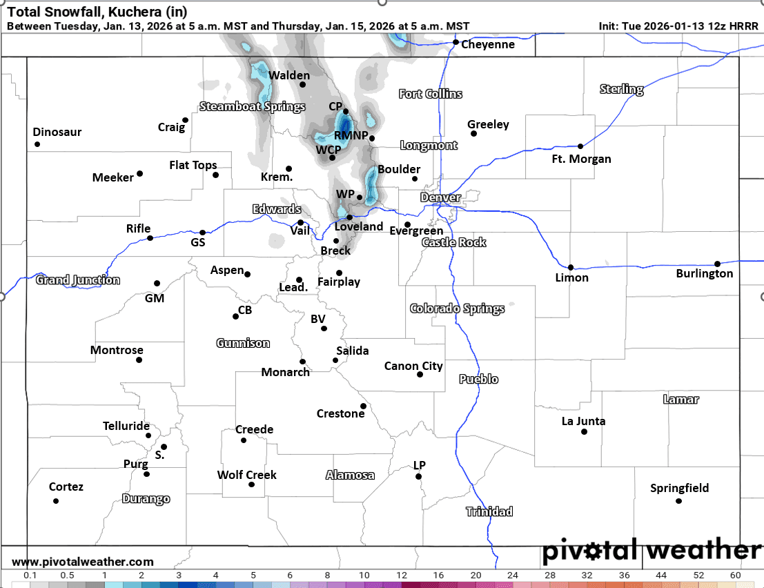
The northern front-range mountains will have a chance for some light snow / snow-showers from 12am-9am Wed. Favoring areas from near Loveland ski area north / east, across Berthoud Pass, IPW, RMNP, Cameron Pass areas, maybe parts of Park Range: Trace-2" in spots there. Not much west of the Tunnels.
The northeast plains, Palmer Divide and maybe parts of Den/Bou will also have a few snow-showers between 11pm tonight to 7am tomorrow morning. Maybe a Trace of snow on the PD and east of Denver. At the very least, I think Den/Bou will be cloudy, colder and a bit socked in tomorrow morning (but likely little / no snow)
Will be chilly on the front-range on Wed morning, warming up in the afternoon.
Nice again across much of the state on Thu.
A stronger cold-front arrives by 12am Fri. Again maybe a few snow showers for parts of northern CO (front-range mountains and plains) between 5am-5pm on Fri, won't be much.
Much colder for Den/Bou on Fri (highs in the upper 30s), then only in the low 40s for Saturday.
For the Broncos game: low 40s, maybe a bit breezy, chilly but likely sunny. Warmer by Sun.
I'm still tracking next round of more meaningful snowfall for the mountains around January 22nd-24th (the following weekend). More on that later.
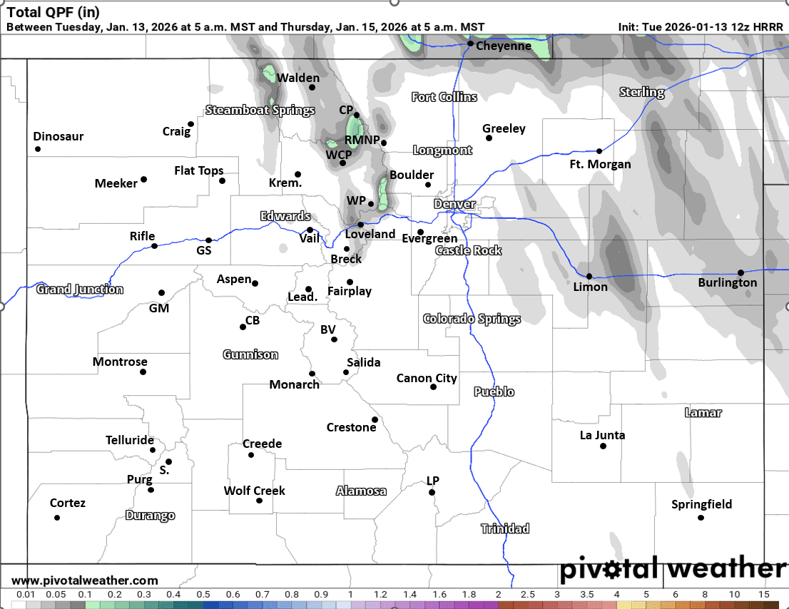
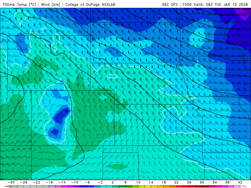
First image shows forecast total snowfall from now through 5am Thu from latest HRRR model, second image is equivalent but for total liquid precip (so you can see some on the plains). Image 3 shows the intrusions of cold-air over eastern / northern CO via forecast 700mb temps/wind from latest GFS over the next 10 days (you can see cold air: blues to purples pushing into the state at times).

Like what you read?
Receive daily weather reports straight to your inbox with Seth's Daily Newsletter. Sign up below.